Surveying and Drones
Rapid changes in technology affect everyone in science and technology, but surveyors can convincingly argue that their field has changed the most and the fastest. Global positioning system (GPS) technology is now in every smart phone, which is incredible considering the first use of a nascent GPS system was the Navy’s TRANSIT satellite navigation system in 1959, less than 60 years ago. Now surveyors must be masters of survey grade GPS, robotic total stations, LIDAR, laser scanning, and drones. And that’s just for collecting the data. To process the data, they must be proficient with numerous software packages and applications, such as AutoCAD, and with geographic information systems (GIS) that continue to expand our notions of what a map is.
SHN is proud to support our “first adopter” staff, who are applying new technologies to surveying. We provide surveying services under a wide range needs and conditions including subdivisions, large scale boundary surveys, topographic mapping of existing conditions, underwater bathymetry, construction surveys, land title surveys, and environmental monitoring. From flying drones to hiking the back-country, our surveyors provide precision geographic data and mapping to fit client needs and specifications.
Noyo Harbor tsunami damage assessment
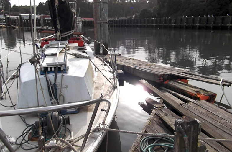
Tsunami surges from the 2011 Tohoku earthquake in Japan caused considerable damage to the Noyo Harbor piers, piles, floats and marine vessels. Waves came through the harbor entrance, fanned out as they moved into the harbor, and pushed large pleasure and commercial boats into the piers and floats. To assist the Harbor District in obtaining rehabilitation funds for reconstructing the harbor, SHN developed a damage evaluation testing method for the piles, created pre- and post-tsunami digital terrain models of the harbor floor, and performed an underwater video survey to further document damage.
Using AutoCAD Civil 3D software, we constructed a digital terrain model of the harbor floor from a hydrographic survey completed in 2007, and another after the tsunami in 2011. We used the models to calculate the volumetric differences between the 2007 and 2011 harbor floors, providing important design information to the marina design and construction company.
Surveying and rehabilitation of local public schools
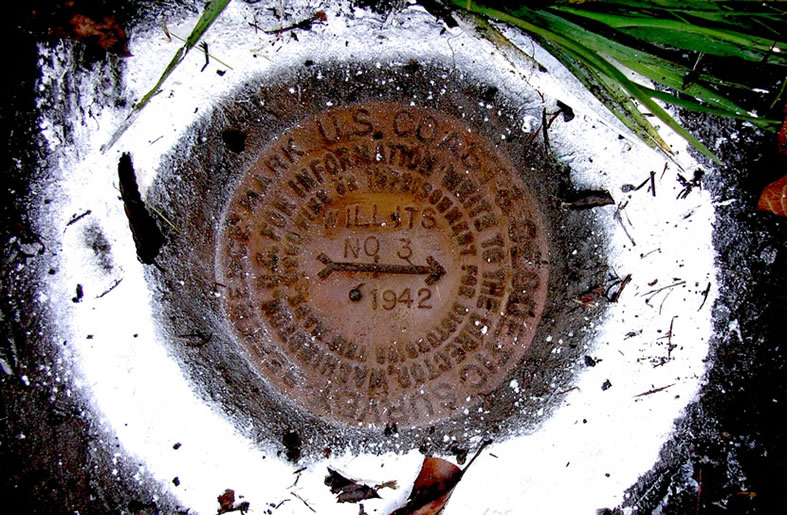
Education and community service are core values at SHN, so we were pleased to provide surveying and mapping services after Measure B (a school rehabilitation bond) passed, funding numerous upgrades for elementary, middle, and high schools in the Willits Unified School District. We provided design level topographic surveys, boundary surveys and aerial topographic mapping for four of the District’s five schools. The design level mapping was merged into the aerial mapping to produce a base map of the entire school property for future planning. Our surveyors researched the District’s historical deeds, adjoining property owners’ deeds, and filed Records of Survey with the Mendocino County Recorder to establish the location of several schools’ boundaries. During the mapping for one of the schools, we discovered that a portion of the proposed improvements conflicted with an historical railroad easement; we then prepared the necessary documents to extinguish the easement so the improvements could be completed as designed. During construction, our surveyors discovered a potential conflict between District improvements and an adjoining property owner, so we prepared new deed descriptions and survey plats to facilitate a boundary line adjustment with the adjoining property owner, allowing the construction of the new improvements to continue without delay.
SHN completed the project by preparing Records of Survey for three of the District’s schools to clarify the previously indeterminate boundary locations. School improvements based on our surveys and maps include a new music building, a new science building, a new water tank, new play fields and drainage and parking lot improvements. All schools switched to net metered solar power, and SHN provided geotechnical services, materials testing, and construction inspection for these renewable energy projects.